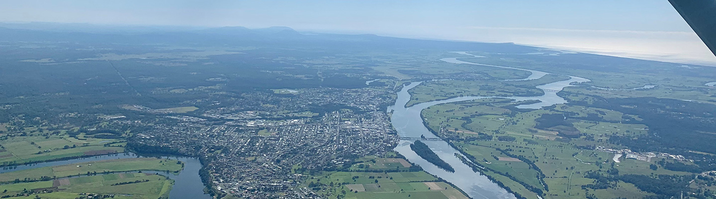
Aerial inspections provide a bird's eye view of the network to identify faults or potential problems. These inspections form part of our ongoing inspection program, along with ground inspections as required, to ensure the network is in good condition.
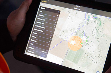
The Aerial inspections collect information about the network and the immediate surrounding area. There are two types of information collected namely High Definition Pole Top Photography and LiDAR point cloud.
Current programs
- Pre Summer Bushfire Inspection Program (PSBI)
- LiDAR Data Acquisition Program
Pre Summer Bushfire Inspection Program (PSBI)

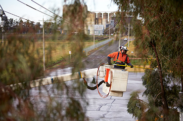
The PSBI Program involves the visual inspection of the Essential Energy Network in areas identified as a High Bushfire Risk.

This PSBI program involves the use of two inspection types:
- an aerial patrol utilising a helicopter flying at a low altitude, (below 500ft), or
- a ground patrol, supported by Drones for image capture
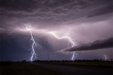
The PSBI is undertaken each year to ensure the Network is in a safe and reliable condition before the next Bushfire Season.
LiDAR Data Acquisition Program
LiDAR is a surveying method which enables us to make three-dimensional models of the poles and wires. View the schedule
Aerial patrol schedule
Aerial Patrols are an efficient method of ensuring that the electricity network is adequately maintained. Public notifications are issued prior to Aerial Inspections taking place within each area. If you have specific circumstances that require additional notification you can register for aerial notification prior to fly over.
July 2024
| PSBI |
| Orange and surrounding area - Ground Patrol Drone |
| Oberon and surrounding area - Ground Patrol Drone |
| Mudgee and surrounding area - Ground Patrol Drone |
| Goulburn and surrounding area - Aerial Patrol Helicopter and Ground Patrol Drone |
| Molong and surrounding area - Ground Patrol Drone |
| Cowra and surrounding area - Ground Patrol Drone |
| Broken Hill - Aerial Patrol Helicopter and Ground Patrol Drone |
| Moruya - Aerial Patrol Helicopter and Ground Patrol Drone |
| Bega - Aerial Patrol Helicopter and Ground Patrol Drone |
| LIDAR |
| Goondiwindi and surrounding area |
| Walgett and surrounding area |
| Moree and surrounding area |
| Narrabri and surrounding area |
| Coonabarabran and surrounding area |
| Gunnedah and surrounding area |
| Coonamble and surrounding area |
August 2024
| PSBI |
| Queanbeyan and surrounding area - Ground Patrol Drone |
| Braidwood and surrounding area - Ground Patrol Drone |
| Yass and surrounding area - Ground Patrol Drone |
| Tumut and surrounding area - Ground Patrol Drone |
| Tumbarumba and surrounding area - Ground Patrol Drone |